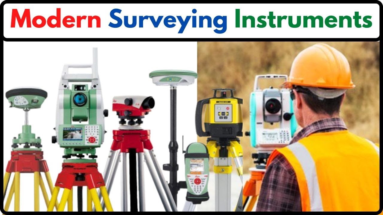
Surveyors today can not work effectively without modern surveying equipment. It is a necessity. There are several types of new equipment that have entered the profession in the past few years. Some are new items and some are upgraded. Surveyors and companies performing surveying services now use this new, modern, accurate and effective equipment. Throughout history, surveying equipment has been continuously invented, reinvented and improved. It has generally kept up with technological advancement in society. Suppliers of such equipment understand that they need to design and provide top quality instruments to be competitive. Thus, there is no dearth of modern and useful equipment on the market. We can expect that surveying equipment will continue to stay pace with advances in technology.
Some of the modern surveying equipment about which we will Discuss.
THEODOLITE
Theodolite is an instrument which replaced compass and level. It can measure both horizontal and vertical angles. If telescope is kept at zero reading of vertical angle it serves as an ordinary level. In this modern era of electronics equipment have come up to measure the distances to relieve surveyor from chaining long lines.
It is a commonly used instrument for measuring horizontal and vertical angles. It is used for prolonging a line, levelling and even for measuring the distances indirectly (tacheometry). Using verniers angles can be read accurately up to 20″. Precise theodolites are available which can read angles up to even 1″accuracy. They use optical principle for more accurate instruments. Now a days electronic theodolites are also available which display the angles.
ELECTROMAGNETIC DISTANCE MEASURING INSTRUMENTS (EDM)
Sun light or artificially generated electromagnetic waves consists of waves of different lengths. Among these waves’ microwaves, infrared waves and visible light waves are useful for the distance measurement. In EDM instruments these waves are generated, modulated and then propagated. They are reflected at the point up to which distance is to be measured from the instrument station and again received by the instrument. The time taken by the wave to travel this 2x distance may be measured and knowing the velocity of wave, the distance may be calculated.
However, time is too short, measuring the time taken is difficult. The improved techniques use phase difference method in which the number of completed wave and incomplete wave is measured. Knowing the length of wave, distances are calculated. Built up microprocessors provided in the instrument calculate the distances and display it by liquid crystal display (LCD).
EDM instruments may be classified into the following three types:
- Micro wave instruments
- Infrared wave instruments
- Light wave instruments.
TOTAL STATION
It is combination of EDM instrument and electronic theodolite. It is also integrated with microprocessor, electronic data collector and storage system. The instrument can be used to measure horizontal and vertical angles as well as sloping distance of object to the instrument. Microprocessor unit processes the data collected to compute:
- average of multiple angles measured
- average of multiple distance measured
- horizontal distance
- distance between any two points
- elevation of objects and
- all the three coordinates of the observed points.
Data collected and processed may be down-loaded to computers for further processing. Total station is a compact instrument and weighs 50 to 55 N. A person can easily carry it to the field. Total stations with different accuracies, in angle measurement and different range of measurements are available in the market. Figure 16.7 shows one such instrument manufactured by SOKKIA Co. Ltd. Tokyo, Japan
GLOBAL POSITIONING SYSTEM
The station points used in surveying are to be identified before executing any project: For this purpose, surveyors used permanent objects as reference points and made reference sketches of station points. Navigators used sun and stars as references. Sometimes when the project is taken up the so-called permanent object (like building corner) may not exist when the execution of project work is taken up. For navigation weather conditions may obstruct the observations.
Now a days this problem is overcome by using an instrument called Global Positioning System (GPS). This was developed by United States defence department and was called as Navigational System with Time and Ranging Global Positioning System (NAVSTAR) or which is now simply known as GPS.There are 24 geostationary satellites positioned around the earth by US air force. These satellites are used as reference points to locate any point on the earth. These satellites are at an altitude of 20200 km above the earth. The 24 satellites are positioned such that from any point on the earth a minimum of 4 satellites are visible.
A user needs only GPS receiver. The receiver measures the travel time of the signals from satellites and calculate position (latitude and longitude) and the elevation altitude of the station with reference to a selected datum. The advantages of using GPS are:
- Can be used in day as well as in night.
- Intervisibility of the two stations on the earth is not a requirement.
- Time required to establish the position of a point is much less.
- Man power required is less.
- Accuracy is high. Most expensive GPS provide accuracies within 10 mm.
Uses of GPS
GPS is very useful in:
- Marine navigation
- Airborne aviation
- Surveying of land.
- Sports such as yatching, hiking.
- The sophistication of GPS has improved so much that drivers of automobiles can get directions